May 30, 2024
Blond-haired, blue-eyed, and cowboy-booted P. J. Hahn has worn more hats in his many careers than he has cowboy boots, and he is the self-proclaimed Imelda Marcos of the cowboy boot world! He has been a photographer for over thirty years. He’s a conservationist, author, speaker, teacher and President/CEO of Pelican Coast Consulting, LLC. He was a policeman in Texas, Coastal Director of Plaquemines Parish Government, President of the Levee Board, Captain of Jefferson Parish Sheriff’s Office and has had myriad other business ventures. To say that he is multi-faceted is an understatement!
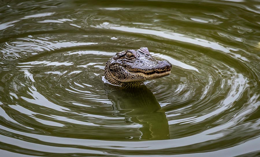
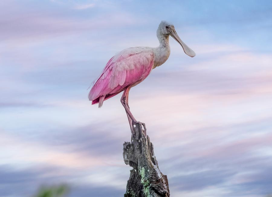
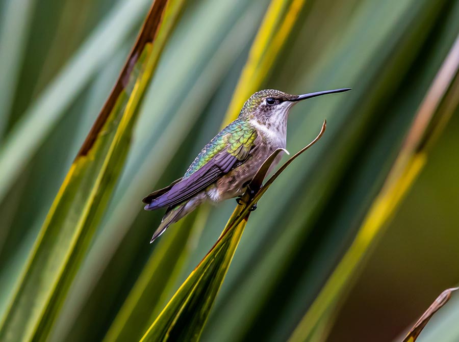
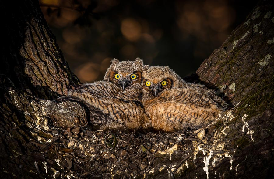
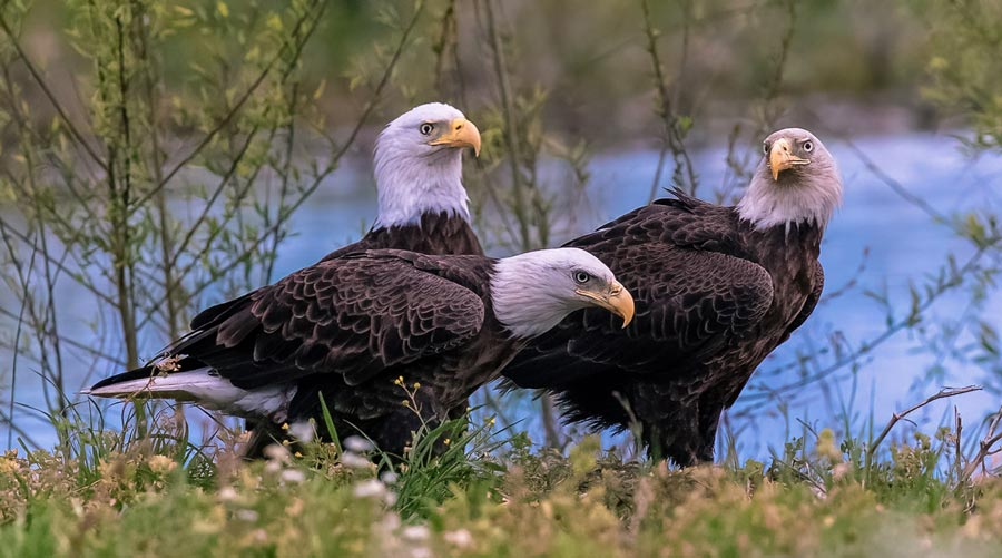
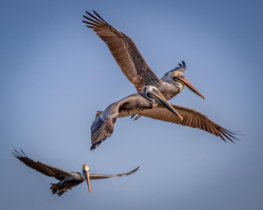
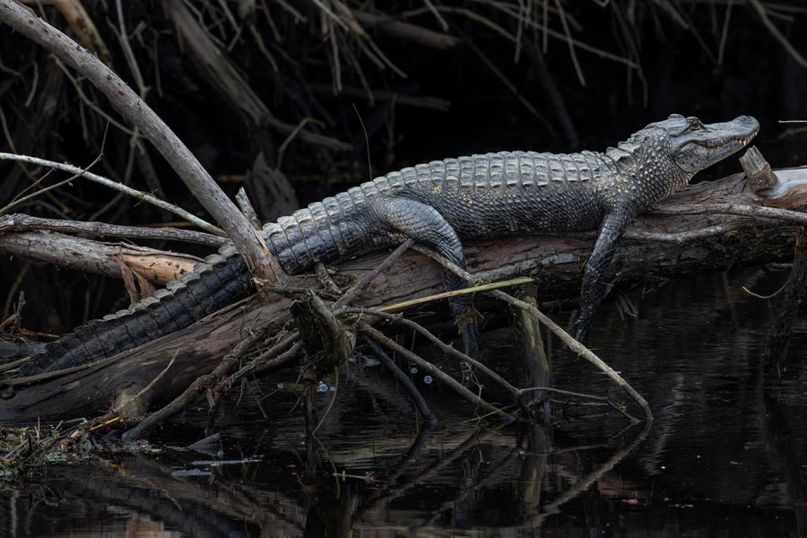
Growing up in San Antonio, Texas, Hahn has always been an avid outdoorsman, which continues to keep him in the woods observing, learning and photographing the patterns of wildlife. In 1986, he moved to Louisiana after falling in love with the state’s vast majesty and the abundant variety of wildlife that inhabit the coastal marshes. He grew up hunting and eating game, but now he only shoots wildlife with his camera. Known for his wildlife prints, his works have been published in numerous newspapers and magazines around the world.
During the BP oil spill, the largest environmental disaster in the world, Hahn was Director of Coastal Zone Management under Billy Nungesser, who was Parish President at the time. Plaquemines Parish encompasses the area of the bottom seventy miles of the Mississippi Delta, where the mighty Mississippi River flows into the Gulf. Most of Plaquemines is marshland, but marshland is of enormous economic and ecological importance as it is the nursery for the fish, shrimp and oysters that sustain the state's whopping seafood industry. It’s the winter refuge for hundreds of thousands of ducks and geese that arrive from all over North America. Additionally, it is an essential southerly protective zone for New Orleans when tropical storms and hurricanes blow in. This is why this one-hundred-mile-wide strip of marshland is known as "the speed bump for New Orleans.”
In 2010, Hahn held the toughest job of all in the Gulf of Mexico. The Deepwater Horizon offshore drilling rig exploded, leaving the well gushing and causing the largest marine oil spill in history. The spill was only forty miles offshore from coastal communities, and he was personally responsible for preventing the oil spill from reaching those communities. Hahn was out on the water twenty hours a day for four months battling the oil spill and he watched in dismay as the commercial and sport fisheries of Plaquemines were shut down and the spill approached the marshes. The oil did finally wash ashore, and Plaquemines Parish is where it made landfall. First, it collected on the beaches of the barrier islands just off the marshes on either side of the Mississippi River. Hahn documented the damage and his heart-wrenching and moving photos of desperately oiled birds and other wildlife were viewed around the world. Tragically, the oil began to seep into the marshes themselves.
As Hahn had feared for weeks, the protective long floating barricades that were meant to hold back the oil floating on the water failed because the oil was not all floating; there was an enormous amount of oil under the surface of the water. Hahn proposed a plan to construct twenty miles of big sand berms, man-made ridges, just outside the barrier islands where the oil could wash ashore and then be more easily removed. It took far too long, over a month, to consult all relevant agencies and get the permits to carry out his plan. The delay in sanctioning his plan caused by the necessity for various federal government agencies to agree proved to be fatally catastrophic.
Hahn was quoted: "It's the life for the whole coast. Everything starts in the marsh, the micro-organisms, the small fish, the shrimp, the oysters, all are born or created in the marsh, then they move out to sea, and that's the first source for what you have out in the ocean. Fifty percent of all the nation's seafood comes from Plaquemines Parish and 75 percent of the nation's migratory wildfowl pass through here. These are some of the most productive marshes in the country. But the problem we have is that you can go and clean the beaches very easily in Mississippi, in Alabama and Florida, but you can't clean the marshes. You don't wish it on anybody, but the bottom line is this: if the oil ends up on a beach in Mississippi, you get a big digger, scrape off the first layer, pump in some new fresh sand, and everybody's in bathing suits the next day. It doesn’t work that way for a marsh."
Joel Sartore, a top photographer with National Geographic, was assigned to Hahn and he became his mentor in photography. Soon, Hahn began getting his photos published in Reuters, Associated Press, Getty, Washington Post, USA Today, London’s Independent, Huffington Post, Yahoo, AOL, Anderson Coopers 360 and National Geographic. He documented not only pelicans and other birds being overwhelmed by the oil but other creatures as small as hermit crabs and as big as porpoises. Hahn’s heartbreaking and poignant photographs documenting the horrific damage to the wetlands and wildlife were used to help settle the case against BP, resulting in a $4.5 billion settlement for the Gulf Coast.
Hahn contributed aerial photos to a fascinating book called The Fortress of New Orleans. The monstrous Hurricane Katrina of 2005 caused several breaches in the hurricane protection system surrounding New Orleans, resulting in flooding across four parishes. The Administration and Congress responded quickly and generously by authorizing and funding one of the most immense, important, and complex civil works reconstruction projects in United States history. As the Greater New Orleans area began to recover, the U.S. Army Corps of Engineers adopted a mission to repair, design and construct a five-parish perimeter hurricane defense system unlike any other in the world. This book, with Hahn’s breathtaking aerial photography, serves as a visual record of the Hurricane and Storm Damage Risk Reduction System, a true flood and surge defense system comprised of traditional earthen levees and floodwalls as well as state-of-the-art flood-control components that are viewed as engineering marvels. This system, which cost $14.5 billion, is one of the most technically advanced coastal flood protection systems in the world. Together, this system of barriers, sector gates, flood walls, flood gates and levees provide a veritable ‘wall’ around East Jefferson, Orleans, and St. Bernard Parishes. The system significantly reduces the risk of flooding for over 1 million residents in the Greater New Orleans area from a 100-year storm. The 100-year level means reduced flood risk from a storm surge that has a 1% chance of occurring or being exceeded in any given year.
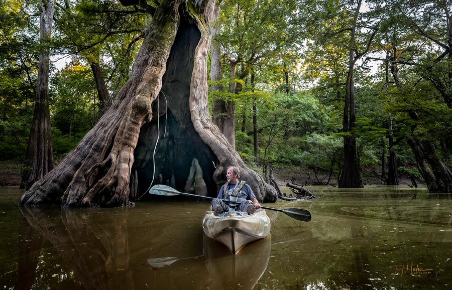
On a lighter note, over the last seven years Hahn has photographed many historical sites, museums, and all of the 22 beautiful state parks in Louisiana for the Louisiana State Parks calendar using a drone and Canon digital cameras. “It was like a staycation going around the state to shoot these world-class state parks. Chemin-A-Haut was my favorite with a bayou going through it and some amazing cypress trees. Years ago, the logging industry cut down most of the cypress trees but somehow they missed these. There are cypress trees in there that are well over a thousand years old! One of my favorite cypress trees is called “The Castle”; it’s between 1000 and 1200 years old. It’s like a gorgeous piece of art, almost twenty feet in diameter and heavily guarded by mosquitos and horseflies. It became the cover photo for the calendar. I donated a pint of blood to get that shot,” Hahn quipped.
Hahn is also in awe of the National Champion Bald Cypress tree at Cat Island National Wildlife Refuge. It’s the oldest cypress tree in Louisiana and the largest in the world. It’s near the charming town of St. Francisville, only 1.5 hours from New Orleans and definitely worth the ride. Nearby is the fully restored Rosedown Plantation built in 1834 and open for tours with 90 percent of its original furnishings. Hahn and his very talented mentee, Tracy Marcev, have contributed photos of the magnificent home to a book that can be purchased on site. Also near St. Francisville, Oakley Plantation, constructed in 1815, is where artist naturalist John James Audubon stayed in the summer of 1821. It is open to the public. Hahn and Marcev also contributed photos to a book about Oakley Plantation that can be found in their gift shop. Both books make memorable souvenirs of your visit to these plantation homes.
Another nearby state park that Hahn enjoyed photographing is Fontainebleau State Park across Lake Pontchartrain, only 25 miles from New Orleans. “It’s absolutely beautiful with a gorgeous beach, a pier with a nice gazebo, and the sunsets are amazing,” Hahn says. Now they have “glamping,” glamorous camping in Fontainebleau State Park and eight other state parks, with several within a short drive of New Orleans.
Presently, as an environmental consultant for his own company, Pelican Coast Consulting, LLC, Hahn continues to be very active in protecting and rebuilding Louisiana’s fragile coastline and using his photos to educate the public on the loss of this critical habitat. He began by working with the Federal Emergency Management Agency (FEMA) and adjusters to document damages to public buildings and churches and now he continues to work on various coastal projects. His speaking engagements are focused on conservation efforts and the loss of land and habitat for wildlife; accompanied by his captivating photos, the subject matter is brought to life.

